Pothole at N42.33 E71.12
Submitted Tue Mar 17, 2020
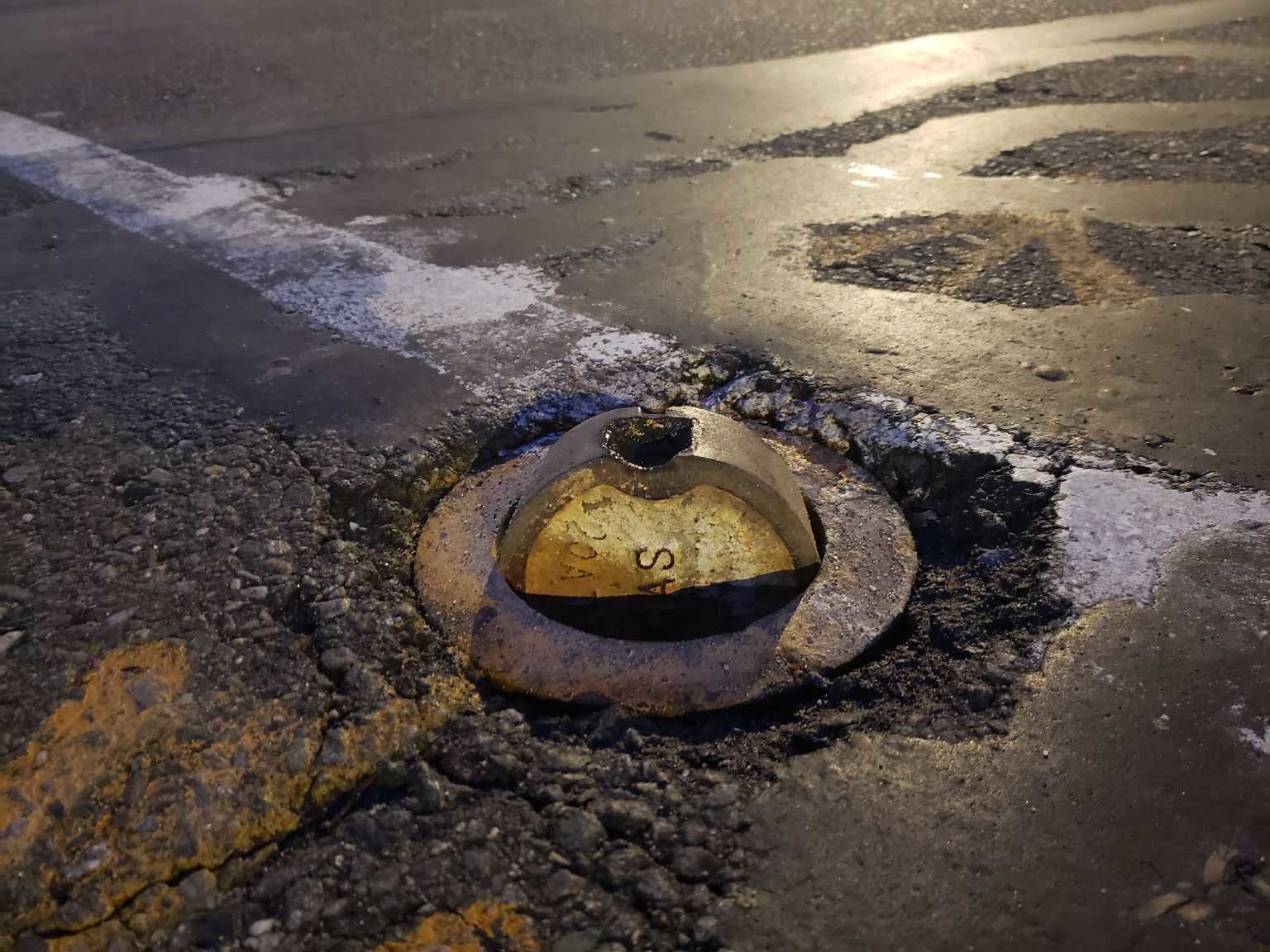
Gas manhole cover sticking up, hazard for vehicle tires. Directly across from Cuttys on the north side of Washington St.
Location on Street: Roadway
Nearest Cross Street: Harvard Ave
address: N42.33 E71.12
coordinates x,y: 759184.9071672204, 2946643.2474104795
coordinates lat,lng: 42.3331082, -71.1189978
| Timestamp | Description |
|---|---|
| Wed Mar 25, 2020 11:58am | Closed |
| Tue Mar 17, 2020 11:18pm | Opened |
| Tue Mar 17, 2020 11:18pm |
Submitted via Android |