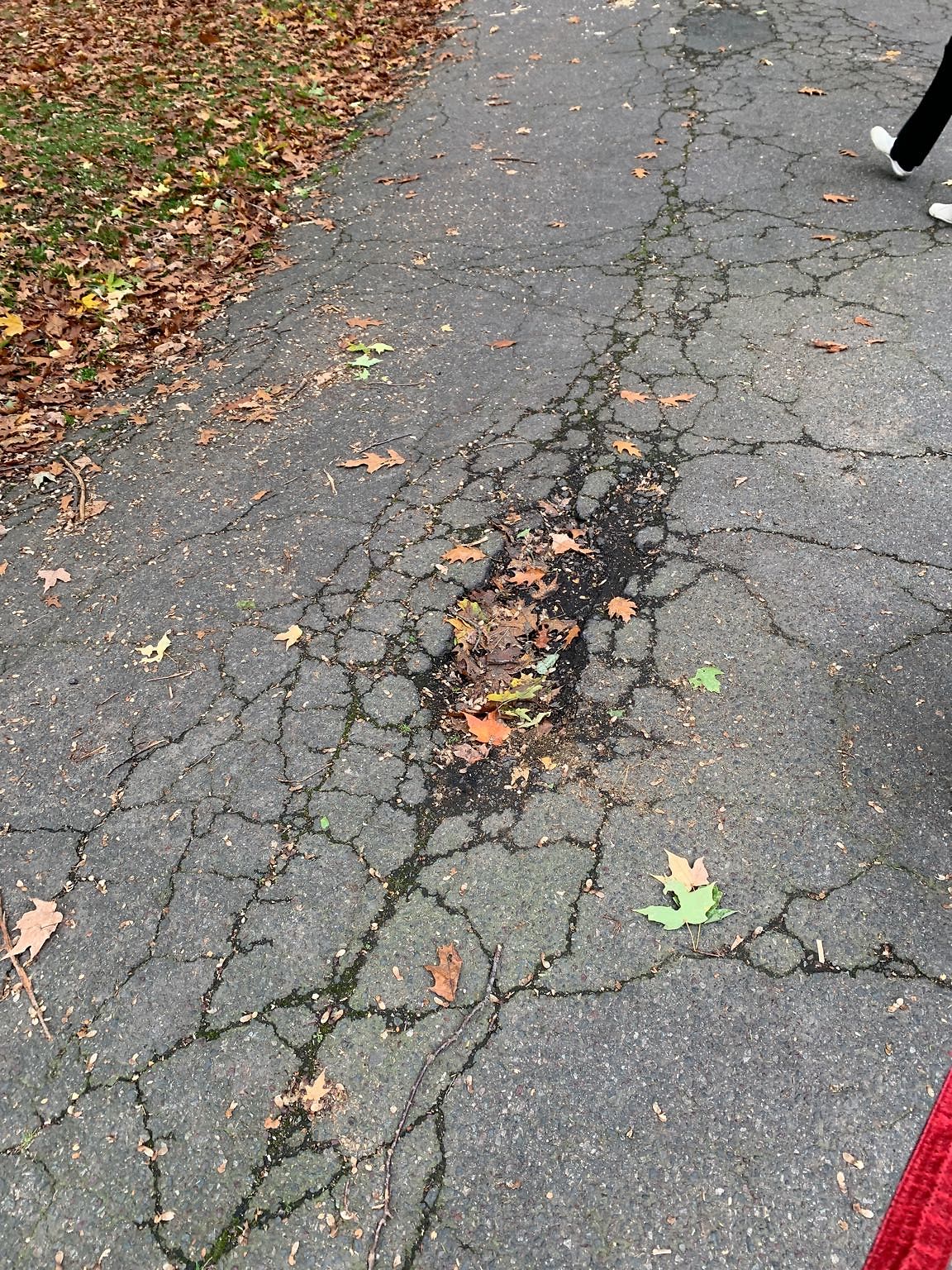
Pothole at 96 Grove St, Chestnut Hill
Submitted Fri Oct 29, 2021
Location on Street: Roadway
Nearest Cross Street: Corner of Pine Avenue and Beach Avenue in the wall of the hill cemetery
address: 96 Grove St, Chestnut Hill
coordinates x,y: 751133.7089649028, 2935715.118913095
coordinates lat,lng: 42.30321564121808, -71.14894030942065
| Timestamp | Description |
|---|---|
| Thu Dec 02, 2021 04:44pm | Closed |
| Fri Oct 29, 2021 06:28pm | Opened |
| Fri Oct 29, 2021 06:28pm |
Submitted via iPhone |