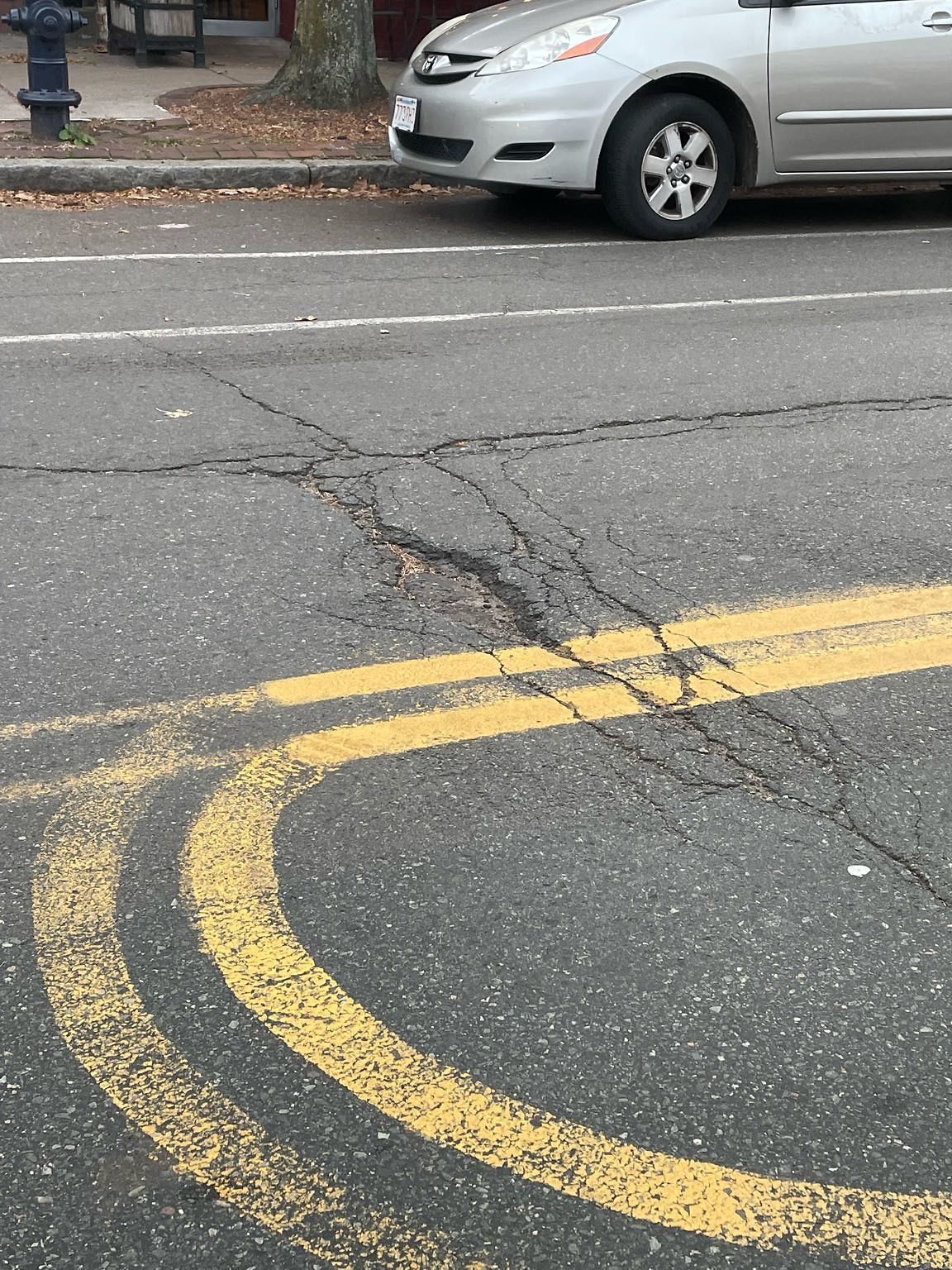
Pothole at 42.345N 71.127W
Submitted Sun Nov 21, 2021
Location on Street: Roadway
Nearest Cross Street: Fuller st
address: 42.345N 71.127W
coordinates x,y: 757092.9613203428, 2951011.412292305
coordinates lat,lng: 42.34512, -71.12666383333334
| Timestamp | Description |
|---|---|
| Tue Jan 04, 2022 07:54am | Closed |
| Sun Nov 21, 2021 03:54pm | Opened |
| Sun Nov 21, 2021 03:54pm |
Submitted via iPhone |