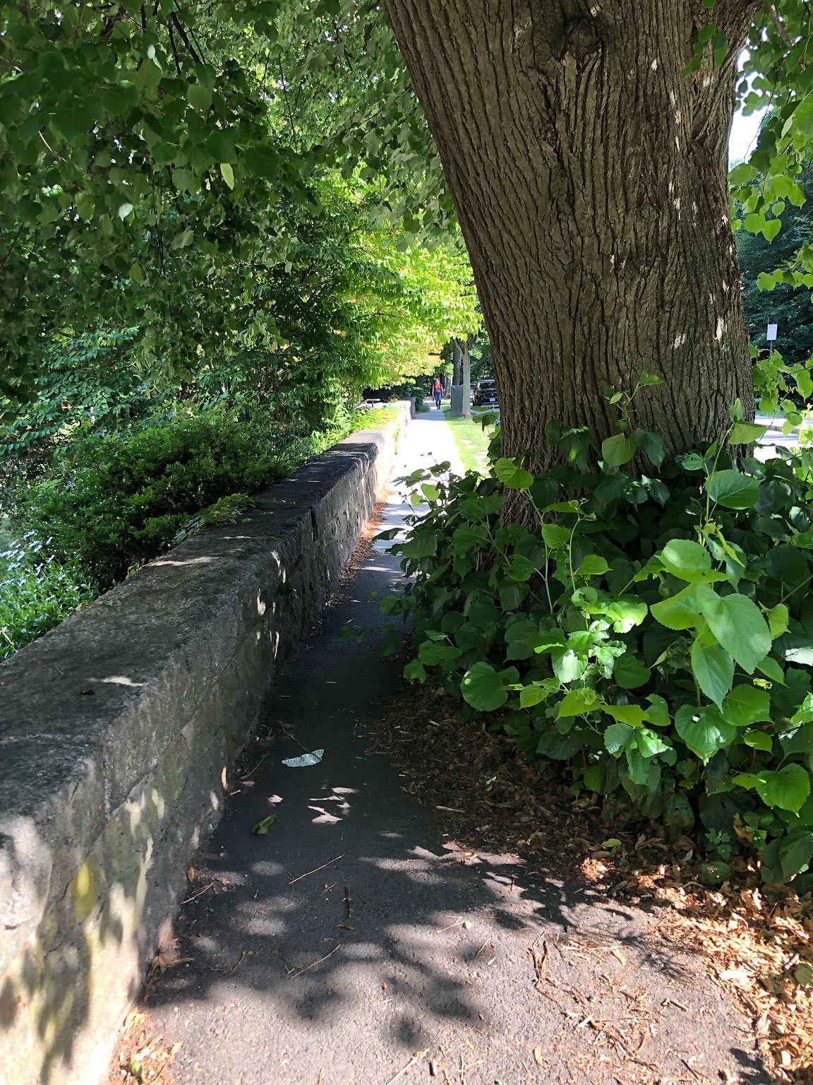
Sidewalk Obstruction at 42.34 N 71.11 W
Submitted Thu Jul 07, 2022
Sidewalk blocked by tree growth in front of former Hebrew College building
Issue: Trees/Vegetations
address: 42.34 N 71.11 W
coordinates x,y: 761518.7384593469, 2950559.59215142
coordinates lat,lng: 42.34382586837756, -71.11030031276024
| Timestamp | Description |
|---|---|
| Wed Aug 17, 2022 01:38pm | Closed with status: Thank you for using the BrookONline Notify Application. This is the responsibility of the property owner, we will communicate with them accordingly. |
| Thu Jul 07, 2022 10:54pm | Opened |
| Thu Jul 07, 2022 10:53pm |
Submitted via iPhone |