Public Trees at 42.33 N 71.13 W
Submitted Sat Sep 24, 2022
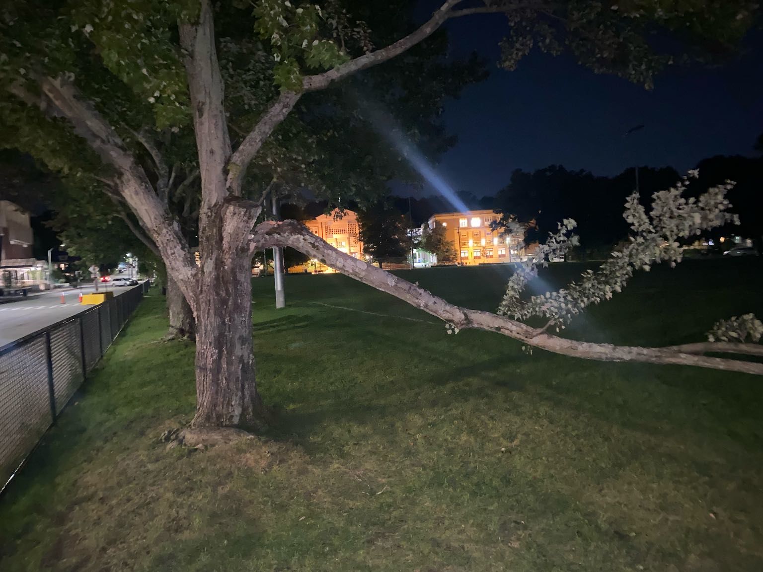
Large branch down in Cypress field near T station
Request Type: Tree Damaged
address: 42.33 N 71.13 W
coordinates x,y: 757019.652959089, 2946144.9099178533
coordinates lat,lng: 42.3317670011425, -71.12701372261634
| Timestamp | Description |
|---|---|
| Thu Oct 06, 2022 05:45pm | Closed with status: null |
| Sat Sep 24, 2022 12:34am | Opened |
| Sat Sep 24, 2022 12:34am |
Submitted via iPhone |