Damaged Sign at 42.340N 71.121W
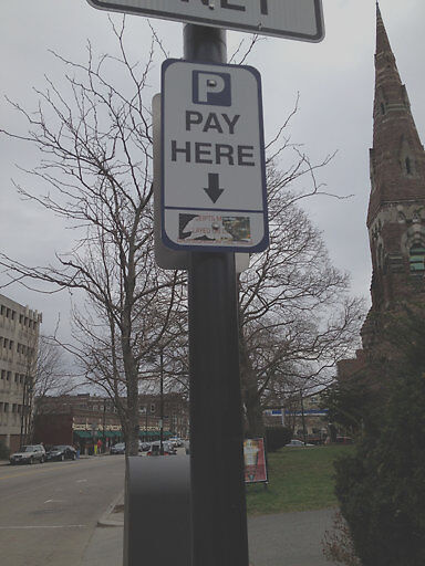
Submitted Sat Apr 07, 2012
Defaced sign. 224 Harvard St.
address: 42.340N 71.121W
coordinates x,y: 758734.2556237888, 2949255.3981703143
coordinates lat,lng: 42.34028155919382, -71.12062149687775
| Timestamp | Description |
|---|---|
| Tue Apr 17, 2012 11:49am | |
| Sat Apr 07, 2012 09:20pm | |
| Sat Apr 07, 2012 09:20pm |
Request submitted via iPhone |