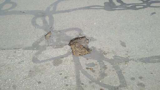
Pothole at 42.340N 71.122W
Submitted Mon May 14, 2012
25 marion st
address: 42.340N 71.122W
coordinates x,y: 758451.7440611992, 2949099.4227831317
coordinates lat,lng: 42.339857, -71.121669
| Timestamp | Description |
|---|---|
| Fri May 18, 2012 12:48pm | |
| Mon May 14, 2012 03:56pm | |
| Mon May 14, 2012 03:56pm |
Request submitted via Android |