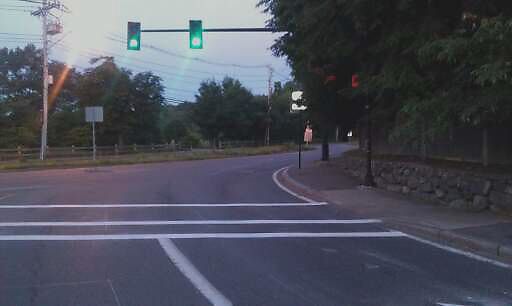
Damaged Sign at 42.332N 71.123W
Clyde and Newton, mv unable to read "No Turn On Red" due to tree
address: 42.332N 71.123W
coordinates x,y: 758184.8357438897, 2946057.105586206
coordinates lat,lng: 42.331512, -71.122706
| Timestamp | Description |
|---|---|
| Fri Jul 06, 2012 12:18pm | |
| Fri Jul 06, 2012 09:01am | |
| Fri Jul 06, 2012 09:01am |
Request submitted via Android |

