Public Trees at 42.348N 71.120W
Submitted Tue May 20, 2014
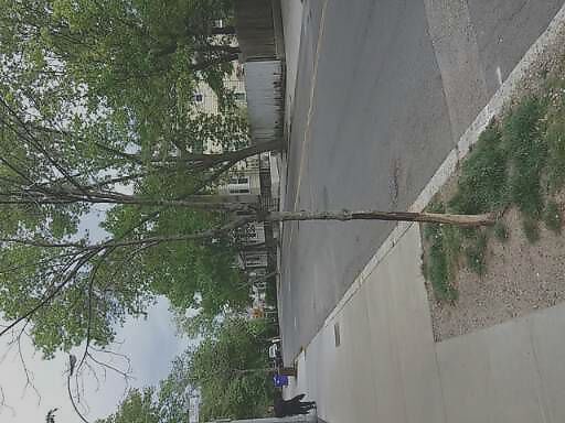
Dead tree opp. 230 Freeman St,
address: 42.348N 71.120W
coordinates x,y: 758883.3784884966, 2951921.27495215
coordinates lat,lng: 42.347595, -71.120026
| Timestamp | Description |
|---|---|
| Wed May 21, 2014 03:48pm | |
| Tue May 20, 2014 04:18am | |
| Tue May 20, 2014 04:18am |
Request submitted via Android |