Public Trees at 42.339N 71.132W
Submitted Tue May 20, 2014
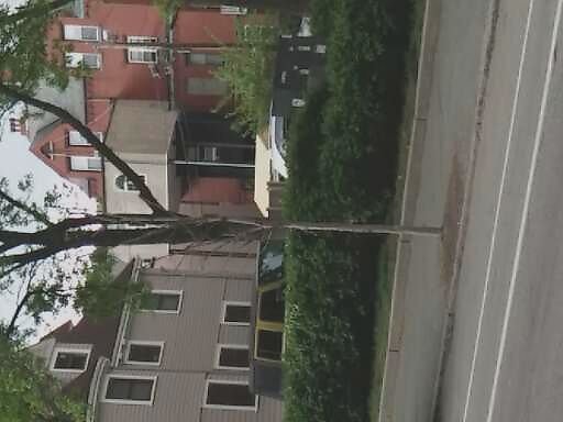
Dead tree at 637 Washington St.
address: 42.339N 71.132W
coordinates x,y: 755542.3659678808, 2948600.192847915
coordinates lat,lng: 42.338522, -71.132438
| Timestamp | Description |
|---|---|
| Wed May 21, 2014 03:47pm | |
| Tue May 20, 2014 04:25am | |
| Tue May 20, 2014 04:25am |
Request submitted via Android |