Public Trees at 42.319N 71.163W
Submitted Wed May 21, 2014
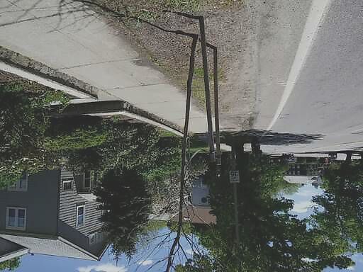
661 Hammond. Dead tree.
address: 42.319N 71.163W
coordinates x,y: 747224.2479043765, 2941407.0888613914
coordinates lat,lng: 42.318878, -71.163309
| Timestamp | Description |
|---|---|
| Wed May 21, 2014 03:43pm | |
| Wed May 21, 2014 04:58am | |
| Wed May 21, 2014 04:58am |
Request submitted via Android |