Public Trees at 42.347N 71.126W
Submitted Mon May 25, 2015
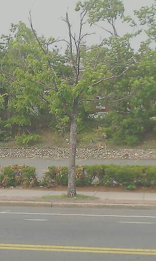
Sick tree on Harvard Street next to Santander bank.
address: 42.347N 71.126W
coordinates x,y: 757252.0591261088, 2951709.622002309
coordinates lat,lng: 42.347034, -71.126064
| Timestamp | Description |
|---|---|
| Mon Aug 03, 2015 03:10pm | |
| Mon May 25, 2015 09:44pm | |
| Mon May 25, 2015 09:44pm |
Request submitted via Android |