Public Trees at 42.349N 71.135W
Submitted Sun May 31, 2015
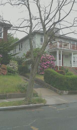
Dead tree. 128 columbia street
address: 42.349N 71.135W
coordinates x,y: 754925.110839178, 2952578.1709816894
coordinates lat,lng: 42.349445, -71.134658
| Timestamp | Description |
|---|---|
| Mon Jun 01, 2015 06:00pm | |
| Sun May 31, 2015 05:38pm | |
| Sun May 31, 2015 05:38pm |
Request submitted via Android |