Public Trees at 42.348N 71.131W
Submitted Sun May 31, 2015
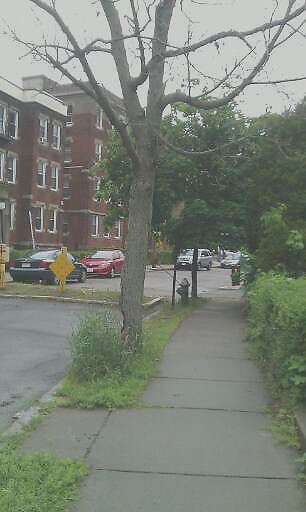
Dead tree. 139 columbia street
address: 42.348N 71.131W
coordinates x,y: 755795.3959121754, 2952112.1688265605
coordinates lat,lng: 42.348156, -71.131446
| Timestamp | Description |
|---|---|
| Mon Jun 01, 2015 05:59pm | |
| Sun May 31, 2015 05:39pm | |
| Sun May 31, 2015 05:39pm |
Request submitted via Android |