Public Trees at 42.33 N 71.14 W
Submitted Fri May 20, 2016
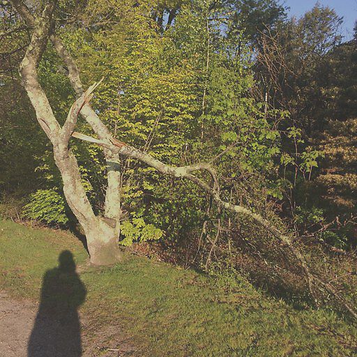
Broken branch by reservoir on the Rt 9 side
address: 42.33 N 71.14 W
coordinates x,y: 754266.022257751, 2944570.1342227925
coordinates lat,lng: 42.32747833333333, -71.13722216666666
| Timestamp | Description |
|---|---|
| Thu Jun 09, 2016 05:52pm | |
| Fri May 20, 2016 07:35pm | |
| Fri May 20, 2016 07:35pm |
Request submitted via iPhone |