Public Trees at 42.34 N 71.12 W
Submitted Mon Jun 06, 2016
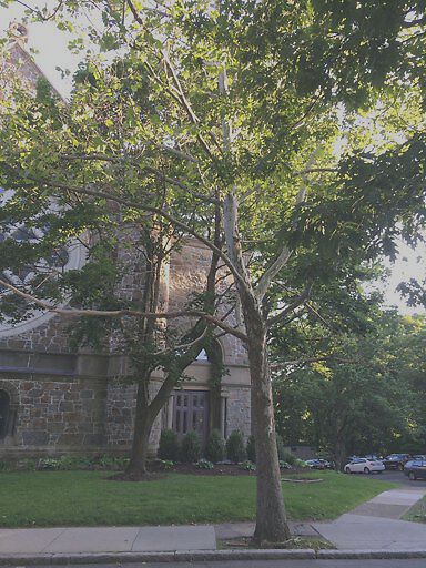
Tree on Vernon St, near St Mark's Square is dropping large branches. It's dangerous to cars and pedestrians.
address: 42.34 N 71.12 W
coordinates x,y: 757643.6419003854, 2949087.5684559867
coordinates lat,lng: 42.33983426804718, -71.12465815422689
| Timestamp | Description |
|---|---|
| Tue Aug 02, 2016 05:30pm | |
| Mon Jun 06, 2016 11:09pm | |
| Mon Jun 06, 2016 11:09pm |
Request submitted via iPhone |