Public Trees at N42.35 E71.13
Submitted Sat Sep 24, 2016
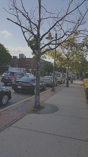
Dead tree
address: N42.35 E71.13
coordinates x,y: 756494.3374372176, 2951954.1228179424
coordinates lat,lng: 42.347714, -71.128863
| Timestamp | Description |
|---|---|
| Mon Oct 03, 2016 12:22pm | |
| Sat Sep 24, 2016 09:16pm | |
| Sat Sep 24, 2016 09:16pm |
Request submitted via Android |