Public Trees at 42.35 N 71.11 W
Submitted Sun Apr 23, 2017
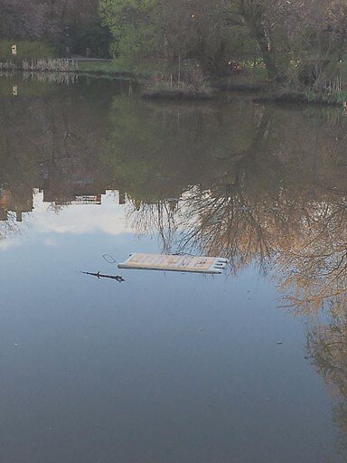
Some spectacular human specimen decided to toss one of the Amory "field closed" signs into Hall's Pond. The trash can at the south gate to the sanctuary is also toppled over.
address: 42.35 N 71.11 W
coordinates x,y: 761056.3335474915, 2951522.3852343913
coordinates lat,lng: 42.3464735899996, -71.1119945348895
| Timestamp | Description |
|---|---|
| Thu May 04, 2017 11:50am | |
| Sun Apr 23, 2017 10:33am | |
| Sun Apr 23, 2017 10:33am |
Request submitted via iPhone |