Public Trees at N42.35 E71.13
Submitted Sat May 20, 2017
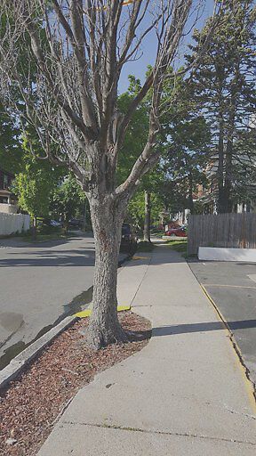
Dead tree.
address: N42.35 E71.13
coordinates x,y: 756904.6557601041, 2951530.2613316975
coordinates lat,lng: 42.346546, -71.127352
| Timestamp | Description |
|---|---|
| Thu Jun 01, 2017 01:30pm | |
| Sat May 20, 2017 09:38pm | |
| Sat May 20, 2017 09:38pm |
Request submitted via Android |