Pothole at 42.33 N 71.15 W
Submitted Wed May 31, 2017
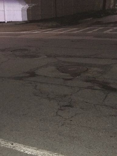
Potholes and depressed manhole covers on Chestnut Hill Ave and Buckminster Rd
address: 42.33 N 71.15 W
coordinates x,y: 751706.0076158366, 2946292.323340719
coordinates lat,lng: 42.33223359117567, -71.14666277615059
| Timestamp | Description |
|---|---|
| Tue Jun 13, 2017 09:52am | |
| Wed May 31, 2017 02:58am | |
| Wed May 31, 2017 02:58am |
Request submitted via iPhone |