Public Trees at N42.35 E71.13
Submitted Tue Jul 04, 2017
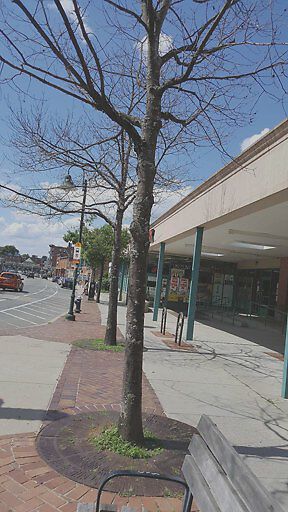
Two dead trees in front of TJ Maxx.
address: N42.35 E71.13
coordinates x,y: 756298.819273215, 2952281.6215004344
coordinates lat,lng: 42.348615, -71.129581
| Timestamp | Description |
|---|---|
| Thu Jul 27, 2017 05:41pm | |
| Tue Jul 04, 2017 07:13pm | |
| Tue Jul 04, 2017 07:13pm |
Request submitted via Android |