Public Trees at N42.34 E71.13
Submitted Mon Mar 12, 2018
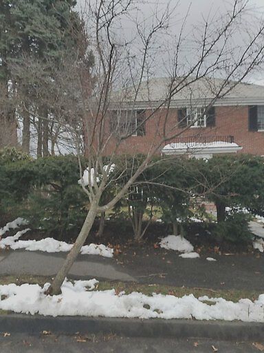
Tree damaged by plow/truck and is leaning onto the sidewalk, blocking it
address: N42.34 E71.13
coordinates x,y: 756148.3048676791, 2947342.627091413
coordinates lat,lng: 42.335064, -71.130217
| Timestamp | Description |
|---|---|
| Tue Apr 03, 2018 01:29pm | |
| Mon Mar 12, 2018 10:15pm | |
| Mon Mar 12, 2018 10:14pm |
Request submitted via Android |