Public Trees at N42.33 E71.12
Submitted Wed May 09, 2018
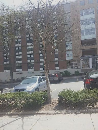
Dead tree 22 high st.
address: N42.33 E71.12
coordinates x,y: 759524.0119494875, 2945778.816084958
coordinates lat,lng: 42.330732, -71.117758
| Timestamp | Description |
|---|---|
| Tue Jun 05, 2018 02:09pm | |
| Wed May 09, 2018 06:07pm | |
| Wed May 09, 2018 06:07pm |
Request submitted via Android |