Public Trees at N42.33 E71.15
Submitted Thu Jun 14, 2018
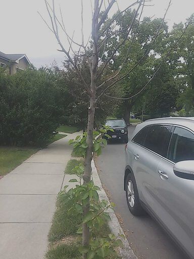
Dead tree 65 cleveland rd
address: N42.33 E71.15
coordinates x,y: 749952.8731518157, 2945520.7127703
coordinates lat,lng: 42.330136, -71.153158
| Timestamp | Description |
|---|---|
| Thu Aug 09, 2018 05:24pm | |
| Thu Jun 14, 2018 08:58pm | |
| Thu Jun 14, 2018 08:58pm |
Request submitted via Android |