Public Trees at N42.35 E71.12
Submitted Sun Jun 17, 2018
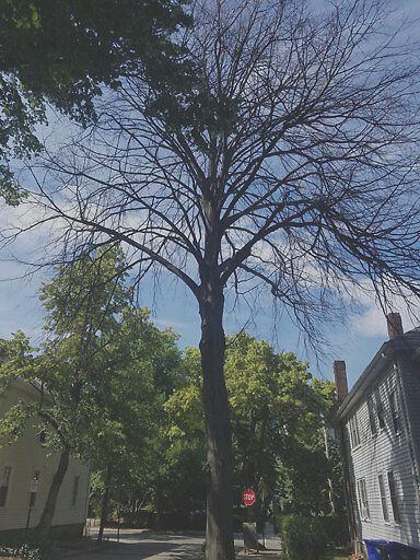
Dead tree on Browne St.
address: N42.35 E71.12
coordinates x,y: 759058.7431003319, 2951817.83071566
coordinates lat,lng: 42.347309, -71.119379
| Timestamp | Description |
|---|---|
| Thu Aug 09, 2018 05:20pm | |
| Sun Jun 17, 2018 08:02pm | |
| Sun Jun 17, 2018 08:01pm |
Request submitted via Android |