Public Trees at N42.33 E71.12
Submitted Fri Jun 22, 2018
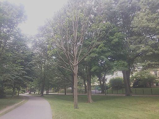
Dead tree between cumberland ave. and willow pond road.
address: N42.33 E71.12
coordinates x,y: 759996.5153102606, 2944252.1731668566
coordinates lat,lng: 42.326537, -71.116036
| Timestamp | Description |
|---|---|
| Mon Oct 15, 2018 03:39pm | |
| Fri Jun 22, 2018 05:09am | |
| Fri Jun 22, 2018 05:09am |
Request submitted via Android |