Public Trees at 42.33 N 71.13 W
Submitted Tue Sep 30, 2025
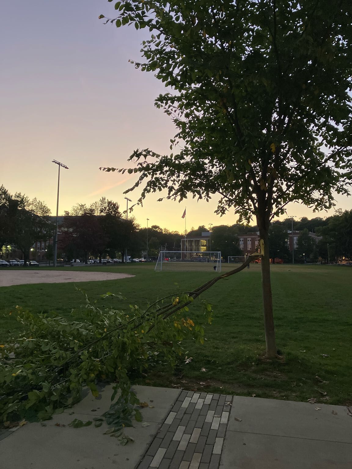
Very sad. Edge of Cypress Field.
Request Type: Tree Damaged
address: 42.33 N 71.13 W
coordinates x,y: 757196.127795624, 2946228.9218038204
coordinates lat,lng: 42.33199541403239, -71.1263597101059
| Timestamp | Description |
|---|---|
| Tue Sep 30, 2025 06:44pm |
Submitted via iPhone |